Ships and Shipwrecks of the Au Sable Shores Region of Western Lake Huron (Memoirs) (Volume 39)
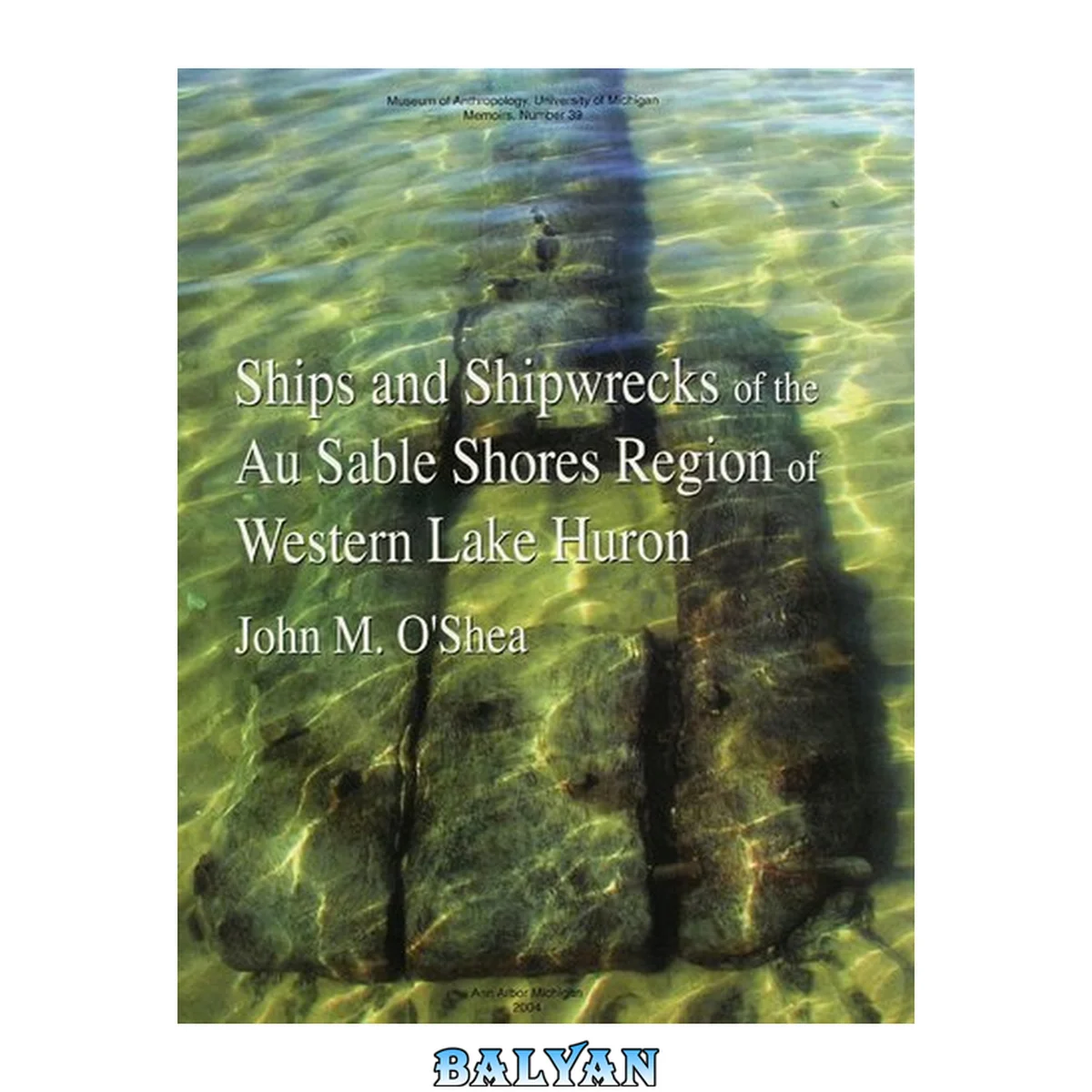
معرفی کتاب «Ships and Shipwrecks of the Au Sable Shores Region of Western Lake Huron (Memoirs) (Volume 39)» نوشتهٔ by John M. O'Shea، منتشرشده توسط نشر University of Michigan Press در سال 2004. این کتاب در فرمت pdf، زبان انگلیسی ارائه شده است.
Focusing on this area of coastline particularly known for vessel strandings, this volume includes: histories of over 50 lost vessels; a description of remains of vessels and wreckage documented during archaeological research in the area; an analysis of shoreline change in the last 150 years and a model for matching wreckage to lost ships. This book will be of interest to archaeologists, historians and anyone who loves the Great Lakes. Contents Map of Lake Huron shoreline from Hammond Bay to Point Aux Barques List of Figures List of Tables Foreword and Acknowledgments A Note on Units of Measurement Part 1. The Region Chapter 1. Introduction to the Au Sable Shores Background to the Au Sable Shores Region Nineteenth-Century Shipping along the Western Lake Huron Shore Part 2. The Wrecks Chapter 2. Introduction to the Wrecks Traffic on the Au Sable Shores Wrecks Present and Not Present on the Au Sable Shores Fallability of Historical Records Sources How and Why Ships Were Lost Chapter 3. Historic Wrecks Athenian Baltimore Dudley Eureka Ferguson Fort Meigs Goshawk Gray Eagle George Hand James C. Harrison Hercules Langell Boys Linden Jane Mason May Queen Andrew A. McLean Mears Midnight Mary E. Pierce Owen R. Prindiville SeaBird Sea Gull John Shaw Thomas P. Sheldon George Steele Stranger Summit Table Rock Volunteer Susan Ward Water Witch Wawanosh Wayne White Squall Chapter 4. Vessels Erroneously Attributed to the Au Sable Shores Region Atlanta Banner M. D. Cardington E. F. Gould Criss Grover A. Lincoln Naiad Ocean William B. Ogden Kitty Reeves Sea Gull Part 3. Archaeology Chapter 5. The Evolving Shoreline Methods Historic Maps 1838 Houghton Manuscript Map General Land Office Mapping in Iosco County, Michigan, 1838-1843 United States Lake Survey of Lake Huron, 1856 Tawas Harbor, 1880-1891 Tawas Harbor, Michigan, 1905 Nautical Charts of Lake Huron in the Twentieth Century Imaging the Western Lake Huron Shore Area Change in the Western Lake Huron Shoreline Tawas Bay Tawas Point Au Sable Point Chapter 6. Archaeological Survey of the Au Sable Shores Region Methods and Coverage Limitations Survey Results Wooden Vessel Debris Brick, Metal and Stone Debris Coal Other Shore Area Features Large Fragments of Vessels and Their Association with Known Au Sable Shores Area Wrecks Tawas Point Area Au Sable Point Area Au Sable-Oscoda Area Chapter 7. Discussion and Conclusions Continuing Research in the Au Sable Shores Region Conclusions References Cited Focusing on an area of coastline particularly known for vessel strandings, this volume includes histories of more than 50 lost vessels; a description of the remains of vessels and wreckage documented during archaeological research; an analysis of shoreline change in the last 150 years; and a model for matching wreckage to lost ships. This book will be of interest to archaeologists, historians, and anyone who loves the Great Lakes. By John M. O'shea. Includes Bibliographical References (p. 115-116).
دانلود کتاب Ships and Shipwrecks of the Au Sable Shores Region of Western Lake Huron (Memoirs) (Volume 39)