نقشههای پادشاهان دریایی باستان: شواهدی از تمدن پیشرفته در عصر یخ
Maps of the ancient sea kings : evidence of advanced civilization in the ice age
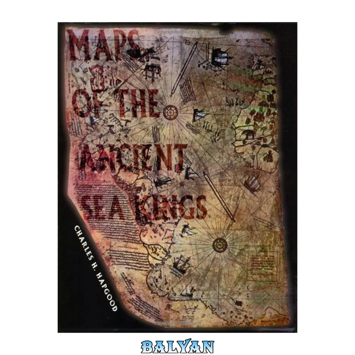
معرفی کتاب «نقشههای پادشاهان دریایی باستان: شواهدی از تمدن پیشرفته در عصر یخ» (با عنوان لاتین Maps of the ancient sea kings : evidence of advanced civilization in the ice age) نوشتهٔ T. J KLUNE و Charles H. Hapgood، منتشرشده توسط نشر Adventures Unlimited Press در سال 1997. این کتاب در فرمت pdf، زبان انگلیسی ارائه شده است.
charles Hapgood's Classic 1966 Book On Ancient Maps Is Back In Print After 20 Years. Hapgood Produces Concrete Evidence Of An Advanced World-wide Civilization Existing Many Thousands Of Years Before Ancient Egypt. He Has Found The Evidence In Many Beautiful Maps Long Known To Scholars, The Piri Reis Map That Shows Antarctica, The Hadji Ahmed Map, The Oronteus Finaeus And Other Amazing Maps. Hapgood Concluded That These Maps Were Made From More Ancient Maps From The Various Ancient Archives Around The World, Now Lost. Hapgood Also Concluded That The Ancient Mapmakers Were In Some Ways Much More Advanced Scientifically Than 16th Century Europe, The Ancient Civilizations Of Greece, Egypt, And Babylonia. Not Only Were These Unknown People More Advanced In Map-making Than Any People Prior To The 18th Century, It Appears They Mapped All The Continents. The Americas Were Mapped Thousands Of Years Before Columbus. Antarctica Was Mapped When Its Coasts Were Free Of Ice. There Is Evidence That These People Must Have Lived When The Ice Age Had Not Yet Ended In The Northern Hemisphere And When Alaska Was Still Connected With Siberia By The Pleistocene, Ice Age Land Bridge.
Hapgood utilizes ancient maps as concrete evidence of an advanced worldwide civilization existing many thousands of years before ancient Egypt. Hapgood concluded that these ancient mapmakers were in some ways much more advanced in mapmaking than any people prior to the 18th century. Hapgood believes that they mapped all the continents. This would mean that the Americas were mapped thousands of years before Columbus. Antarctica would have been mapped when its coasts were free of ice. Hapgood supposes that there is evidence that these people must have lived when the Ice Age had not yet ended in the Northern Hemisphere and when Alaska was still connected with Siberia by the Pleistocene, Ice Age 'land bridge' Charles Hapgood's classic book on ancient maps produces evidence of an advanced world-wide civilization existing many thousands of years before ancient Egypt. He has found the evidence in the Piri Reis Map that shows Antarctica, the Hadji Ahmed map, the Oronteus Finaeus and other amazing maps. Hapgood concluded that these maps were made from more ancient maps from the various ancient archives around the world, now lost. Not only were these unknown people more advanced in mapmaking than any other prior to the 18th century, it appears they mapped all the continents. The Americas were mapped thousands of years before Columbus and Antarctica was mapped once its coasts were free of ice.